

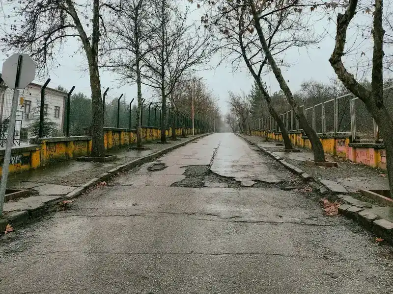
 Roads & pavement
Potholes and broken pavement
Cracked asphalt, sunken slabs, crumbling curbs — pinned to the exact spot on the map.
My City turns a photo from your phone into a work order for the right municipal team — and keeps you in the loop until you confirm the job is done.
Eighteen categories of civic issue, each already mapped to the department that owns it. These are six of the most common.
Roads & pavementCracked asphalt, sunken slabs, crumbling curbs — pinned to the exact spot on the map.
 Sanitation & waste
Missed collections, illegal dumping, and litter that never seems to get picked up.
 Street lighting
A dark corner is a safety problem. Report the pole; it goes to the team that maintains it.
 Accessibility & sidewalks
Uncleared snow, blocked ramps, missing curb cuts — the things that decide whether someone can leave the house at all.
 Water & drainage
Standing water and burst mains, reported before they take out the road underneath them.
 Public property damage
Tagged walls, damaged benches, broken shelters — logged with a photo and a location.
Traffic signs, parks and green spaces, pests, noise, construction safety, transit stops, utilities, public safety — eighteen categories in all. A municipality can rename any of them and re-route where they land.

From the photo you take to the confirmation only you can give.
Snap a photo, record up to 60 seconds of voice, or just type. Your location is picked up automatically, and faces and licence plates are blurred before the picture is stored.
The report is classified, duplicates are merged, and a single work order lands with the department that owns that category. Nobody re-types anything.
A tracking code and a live status — assigned, in progress, resolved. You get notified at every change instead of having to phone and ask.
The crew uploads proof of the work. Then it is your call: confirm the fix, or reopen it in one tap if it is not actually done.
The same timeline the resident and the city both see.
Everyone involved in fixing a city problem is looking at the same report — not at four systems that disagree.
The eyes of the city. They spot and report issues with a photo and a tap, track every report in real time, and grow their citizen score when fixes are confirmed.
The hands of the city. They accept jobs on their phone and upload before-and-after proof of the work.
The brain. They watch the map, route work, and keep residents informed through shared project, event and announcement layers, plus emergency alerts.
The architects. They manage cities, roles, departments and security across the whole deployment.
One dashboard for the inbox, the map, the departments and the audit trail. Deploy it whichever way your policy allows.
Fully managed and hosted by Geoxity — in Canada for this deployment, or in your own data centre on-premise. Automatic updates, scaling and backups — no infrastructure for you to run.
Run it inside your own municipal data centre when policy requires it. Same product, same updates, your perimeter.
Data residency is configured per deployment, to meet the law of the country you operate in. On this deployment, all resident data is stored in Canada; automated classification of a report runs in the United States — both are set out in full in our privacy policy.

Pilot the whole platform free for 90 days. No procurement cycle needed to find out whether it works for you.
Run My City across one of your wards or districts. We help you onboard, train staff, and tune the issue-to-department routing. Includes everything in the Cloud tier.
Hosted on Geoxity Cloud — in Canada for this deployment. Volume discounts start above 100k residents. Includes a 99.9% uptime SLA, daily backups, and 24/5 support.
Self-hosted inside your municipal data centre when policy requires it. Same source, same updates, your perimeter. We provide the deployment runbook and quarterly version drops.
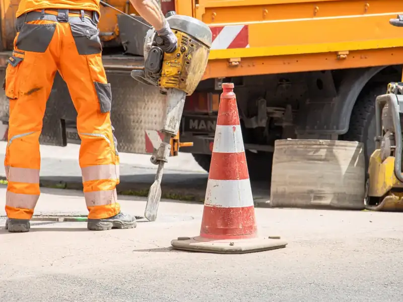
A resident photographs a problem. The right team is dispatched, the work is tracked, and the person who reported it decides when it is finished. That last part is the difference.
Talk to us about a pilotWhat municipalities and residents ask us most, answered plainly.
A smart urban-services platform. Residents report a problem with a photo and a location; the report is classified, routed to the responsible department, tracked through the work, and closed only when the person who reported it confirms the fix.
No. The apps and the web version are free for residents. Municipalities pay for the platform.
Data residency is configured per deployment to meet local law. On this deployment, resident data is stored in Canada, on Canadian cloud infrastructure. Some AI processing — the automatic classification of a report — runs outside Canada, which we disclose in full in our privacy policy along with how to avoid it.
Yes. My City is available as a managed cloud service or as a self-hosted, white-labelled deployment on the municipality's own infrastructure. Both run the same product.
Yes. The resident app, the staff dashboard and this site are fully bilingual in English and French, and a municipality chooses which languages it offers.
A web dashboard: an inbox of incoming reports, a map of where the work is, assignment to the right department and team, and the full timeline of everything that has happened to each report.
The web app works right now, in any browser, on any device. The iOS and Android apps ship with the first pilot launch.
Free for residents, always. Municipalities pay for the platform.